
R
Our commitment to RDI guarantees the continuity of the business model, which is innovative and technologically advanced.
Since 2011, our R Management System has been certified by AENOR according to the UNE 166002 Standard for Research, Development and Innovation activities in:
WHAT WE DO

Project development

R consulting

Technological surveillance
INNOVATION
“If you want different results, don’t always do the same thing.” Albert Einstein


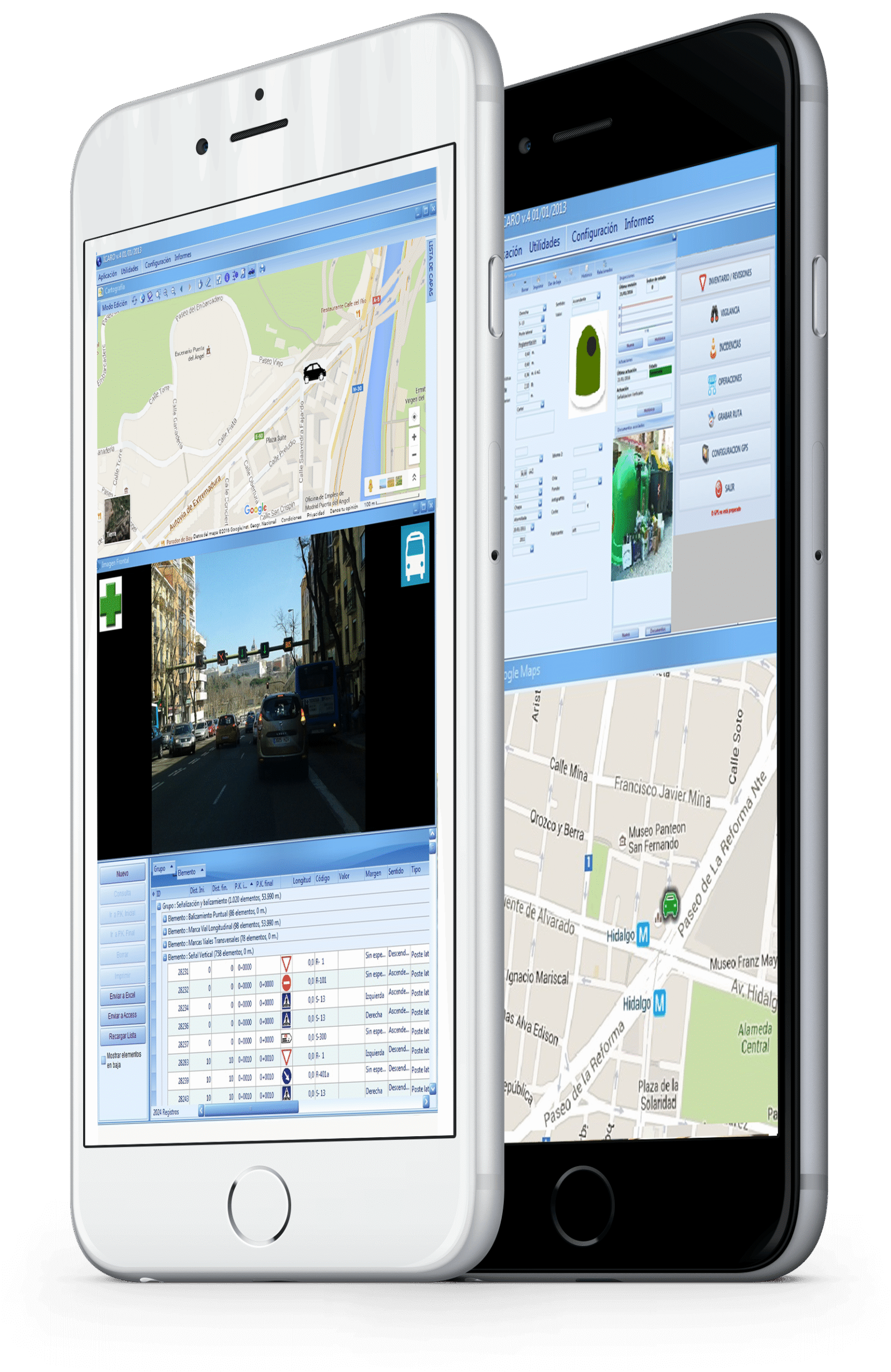
EXPERT URBAN PAVEMENT MANAGEMENT
ICARO CIUDAD provides the data to analyze them easily: structural package, inspections carried out, traffic, geometry… Through quality thresholds, it allows for homogeneous segmentation and knowledge of the condition indices and the planning of actions to be carried out based on the expected evolution of the pavement and the available budget.

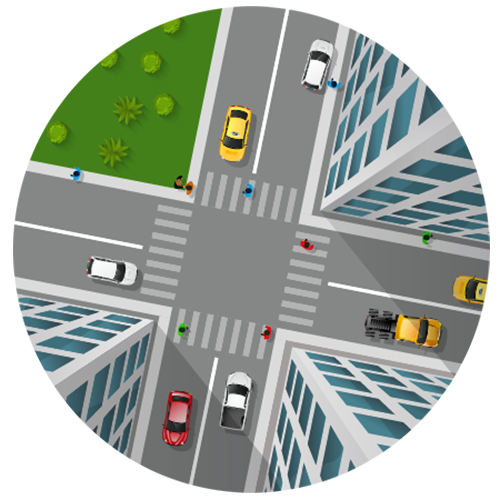
ROUTE GENERATION AND FLEET CONTROL
It allows the generation of routes based on parameters such as the bearing capacity of the pavement, the existing clearance at each point, etc. It allows the control of the vehicle fleet, being able to add information on whether they are stopped, active, etc.

URBAN ASSET INVENTORY
Contains the records of each inventory element with its specific attributes and element condition index. Facilitates asset management for smart cities, according to UNE 178303:2015.
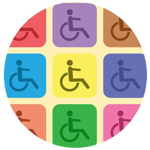
ACCESSIBILITY ANALYSIS
The inventoried elements may be evaluated based on accessibility parameters. It will allow representing themes with points of reduced accessibility and architectural barriers.

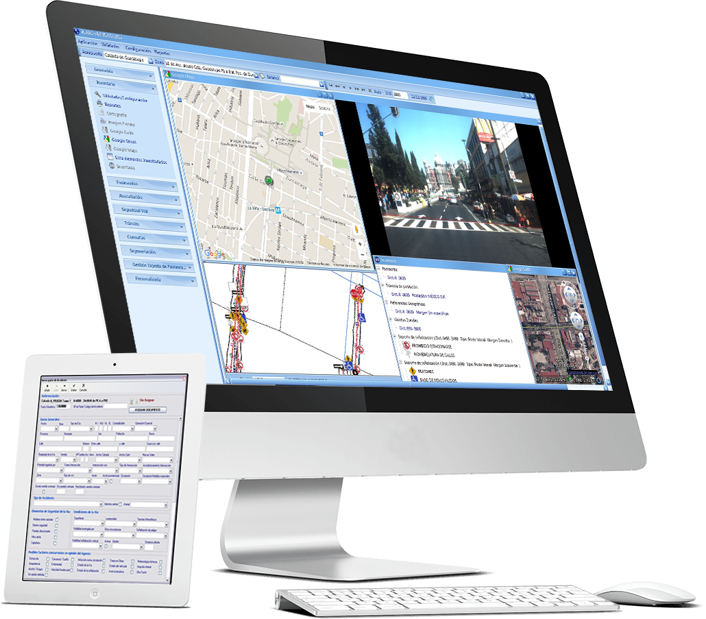
EASY VISUALIZATION
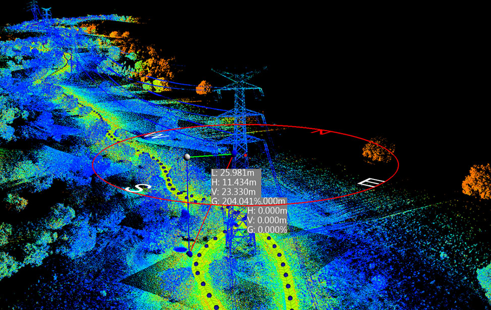
The system supports and displays 360º images and point clouds, and geolocates the elements on the map (Orthophotos, Google Maps, Google Earth, Google Street View…).

MULTI-PLATFORM ACCESS
Allows immediate access from any point in the city, updating incidents and registering conservation and maintenance operations from Tablet or Smartphone devices.